A single engineering partner — from precise survey data to full construction and electrical delivery.
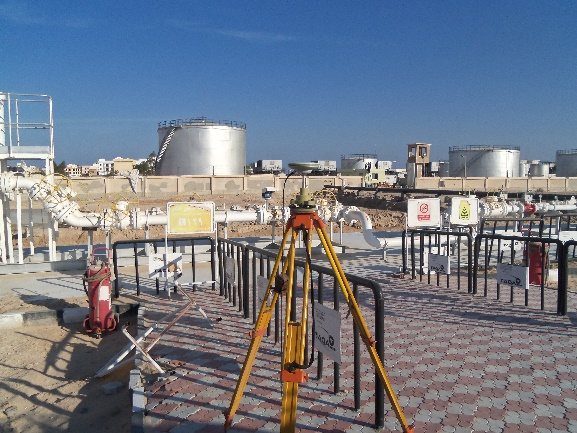
Using GPS/GNSS and total stations, we deliver high-accuracy survey data for projects of any scale — topographic mapping, setting out, levelling and as-built surveys.
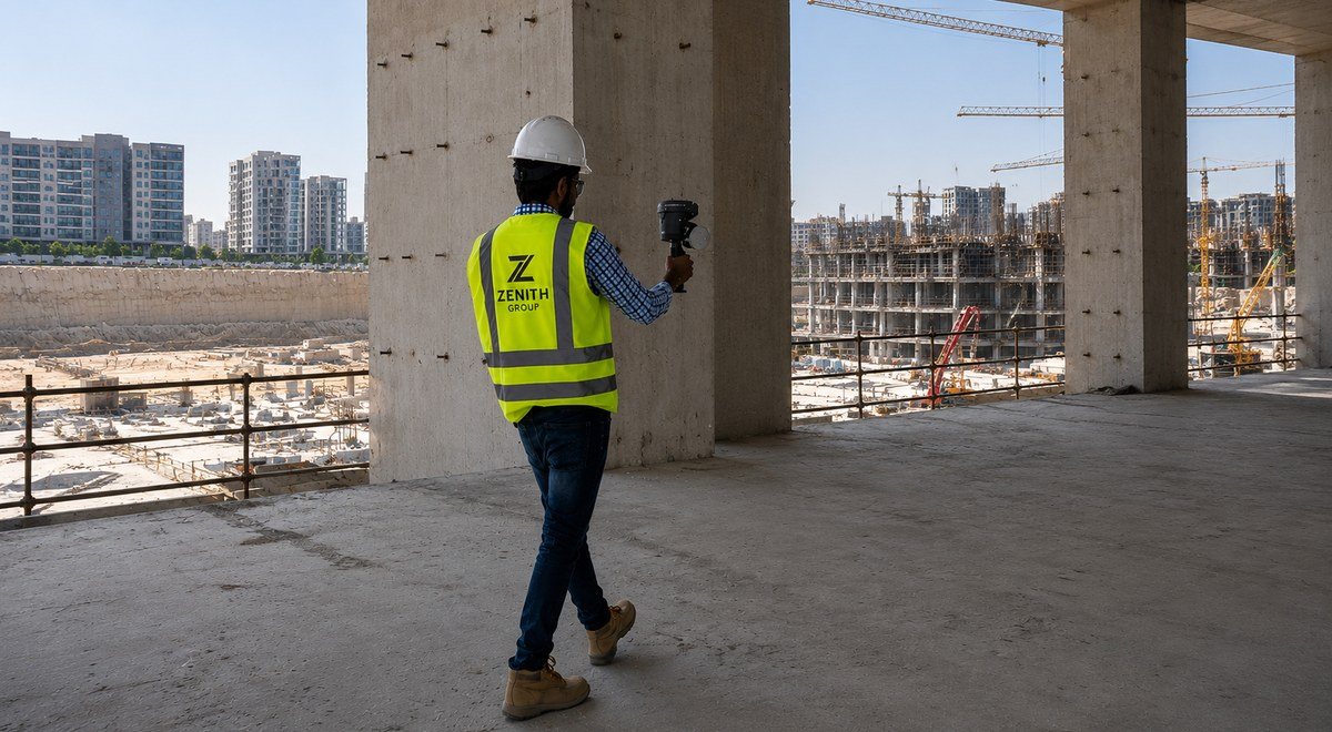
Our core capability. Mobile LiDAR captures millions of points per second to produce accurate point clouds, BIM models and 2D drawings — far faster than traditional methods.
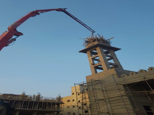
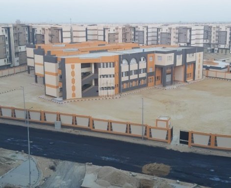
General contracting and specialized construction — concrete and finishing works, supervision and execution for residential, service and public projects, plus mobile-network civil works.
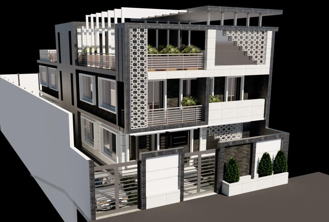
Architectural and structural design, perspectives and façades, development proposals, building licenses and drawings — design through execution supervision.

More than 20 years in utility transmission, distribution, generation and motor protection — from low voltage up to 500 kV, including studies, automation, commissioning and training.
Geo-referencing of satellite imagery, digitizing of building features, and linking all spatial data — building types, uses, heights and road levels — through GIS for urban planning and utilities.
Send us your project details and our engineers will recommend the right approach.
Contact Us